


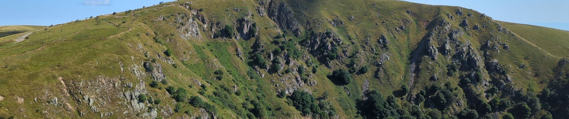
Le Hohneck et ses lacs d'altitude

VacheKiri67
User


6h13
Difficulty : Difficult

FREE GPS app for hiking
 SityTrail
IGN / Geographical institutes
SityTrail Plus
The world is yours!
About
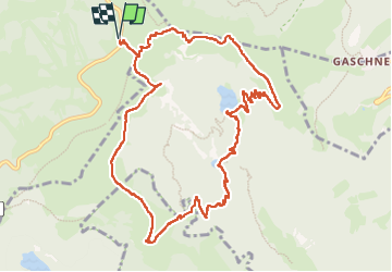
Trail Walking of 12.1 km to be discovered at Grand Est, Vosges, La Bresse. This trail is proposed by VacheKiri67.
Description
Faite le 15/08/2024 avec nos amis Francine et Christian. D'après "Passion Vosges : Lacs et cascades - 29 : Le Hohneck et ses lacs d'altitude". Durée indiquée pour le circuit : 4h00 et notée randonnée "alpine" réservée aux bons randonneurs. Bonnes chaussures indispensables, la descente par le balisage croix bleue est indiquée difficile.
Photos


Positioning
Comments